

Overview of Lithium Projects
Ultra Lithium is a diversified lithium exploration and development company with substantial assets in all three major types of lithium projects. Currently, the company owns 100% interest in two brine lithium projects covering over 7,500 hectares of land in Catamarca Province, Argentina, as well as three projects in North America – two in Ontario Canada and one in Nevada, USA.
 ARGENTINE PROJECTS
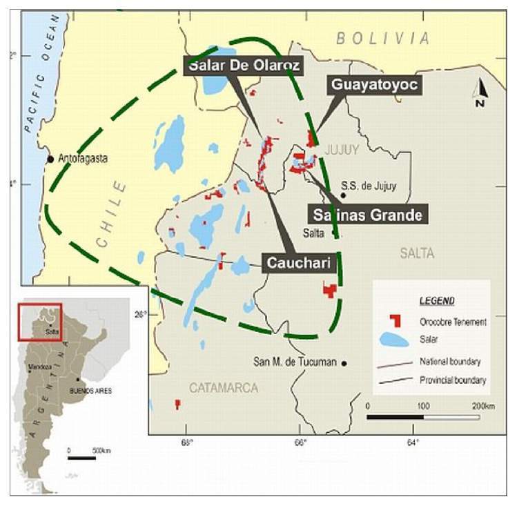
Laguna Verde I and II Brine Lithium Properties, Argentina (details here)
- Located to the north of Salar de Antofalla owned by Albemarle.
- A new high grade lithium discovery comprising of 7,569 hectares land in 3 mining licenses.
- The mining licenses Laguna Verde I and Laguna Verde II contain approximately 3,000 hectares of salar in which surface water is detected in the centre with high salinity probably contributed through faults and shearing structures.
The Future Plans for Argentine Lithium Extraction and Production
- The Company has signed a Memorandum of Understanding (MOU) with Cadavisa Technology Corporation (CTC) of Beijing, China to cooperate in lithium extraction and production using CTC’s proprietary technology.
- CTC uses selective separation methods through crystallization processes to produce battery grade lithium carbonate.
- CTC is constructing a plant in China with a capacity of 25,000 tonnes/year battery grade lithium carbonate.
- Ultra Lithium will send spodumene and brine samples to CTC for trial production of lithium carbonate.
NORTH AMERICAN PROJECTS
Georgia Lake Pegmatites Project, Ontario, Canada (details here)
- Located in the Thunder Bay Mining Division, Ontario.
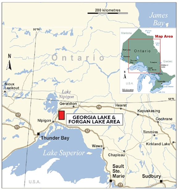
- 100% ownership of 16 mineral claims covering 2,416 hectares of land.
Forgan Lake Pegmatites Project, Ontario, Canada (details here)
- Located in the Thunder Bay Mining Division, Ontario.
- Agreement to acquire 100% ownership interest in the property.
- The 256-hectare lithium property consists of 16 units.
- One legacy claim TB4244103 converted to 18 cell claims and 2 boundary claims.